Aerial Imaging Services Using Drones
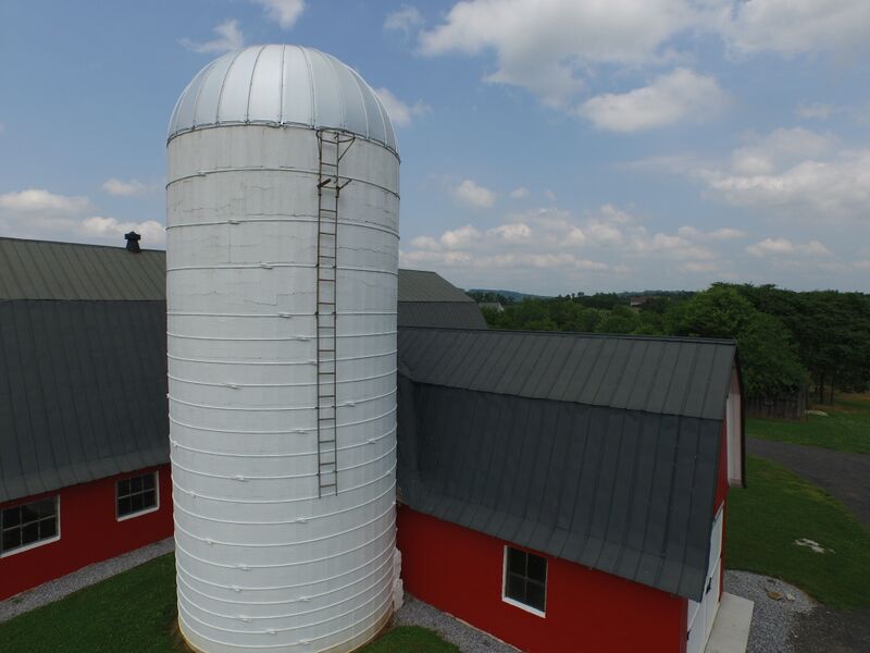 In the course of performing our work, we understood the need for a new approach to conducting engineering surveys and inspections of construction sites, existing buildings and facilities, and other sites. Monitoring and ensuring site safety, proper material usage, quality of workmanship and/or inspecting the integrity of building and/or structures are essential for public safety. Yet often times, the individuals performing these activities put their lives at risk.
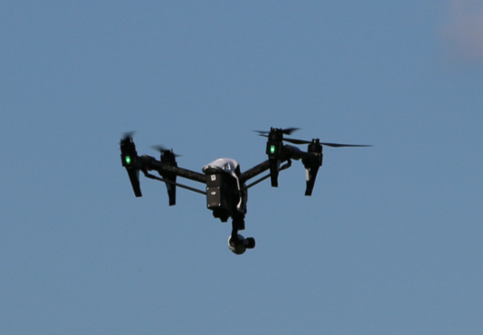
This realization motivated us to establish the capability to utilize Unmanned Aircraft Systems (UAS), commonly known as “drones” to safely, efficiently, and economically obtain aerial imaging in support of engineering surveys and inspections. We are now authorized by the Federal Aviation Administration (FAA) to fly UAS.
Our licensed pilots, visual observers and camera operators have been trained to safely and efficiently operate UAS within the restrictions and limitations imposed by the FAA, as well as state and local authorities. We have learned to find the right balance between our customers’ expectations and the numerous restrictions currently governing UAS operations. You can rest assured that with the Navigator CS team by your side, you will meet your project objectives cost effectively in a timely manner.
We can assist you by:
- Obtaining aerial images to meet your project needs
- Guiding you through the FAA approval process, if you wish to establish the UAS capability for your business
- Preparing and filing your petition for exemption
- Preparing and filing your aircraft registration
- Helping you develop the infrastructure required internally to comply with existing regulations
- And much more…
Contact us so we can determine how we can put this leading edge technology and the knowledge that we have acquired to your service.